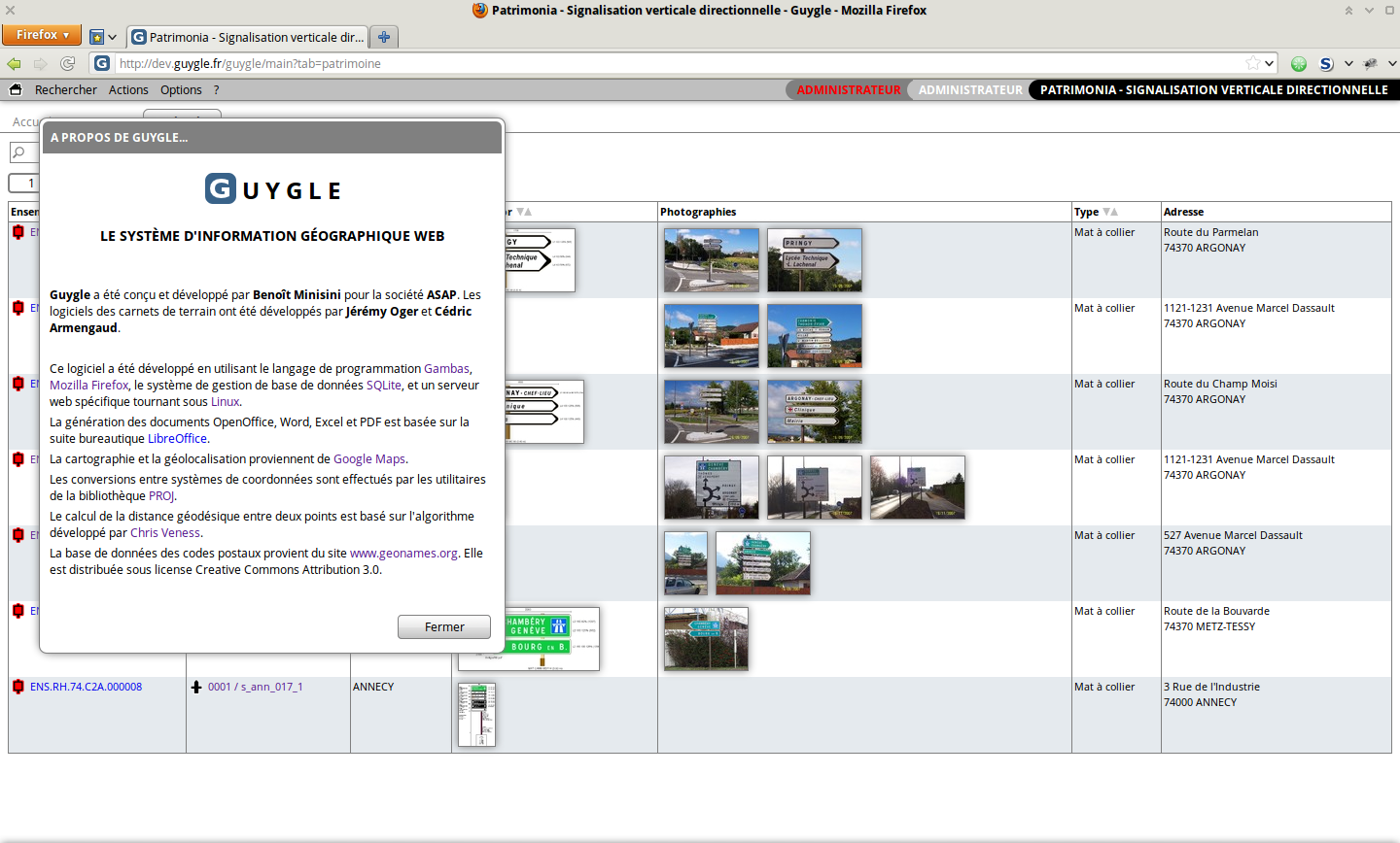
Guygle (web geographical information system)
Guygle is a web application made by the
ASAP company that can manage any sort of network or geographical data. It has tons of features:
-
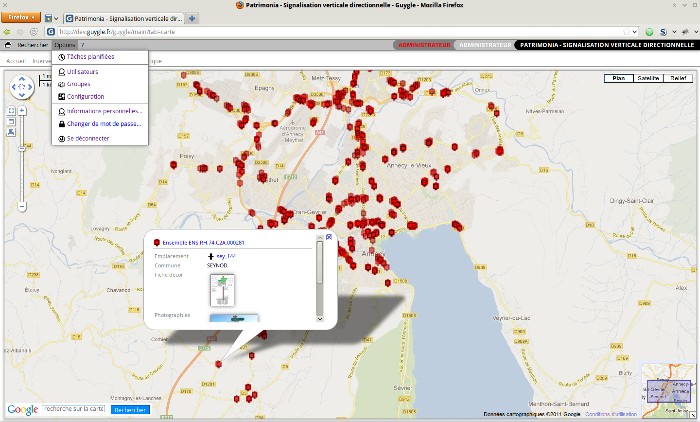
Uses Google Maps™ to display the data and geolocalize it.
-
Data can be filled from any PDA, with eventually a camera, a GPS, a barcode reader...
-
Objects can be tagged with RFID chips.
-
Can track people or vehicles, provided they carry a specific tracking device.
-
The database is fully customizable.
-
Data can be exported in OpenOffice, Microsoft Excel or Google Earth.
-
Human-like syntax queries.
-
Can generate PDF documents.
-
...and so on.
Guygle was used for developing the following applications:
-
A call center.
-
A clean-up network management system.
-
A waste collect management system.
-
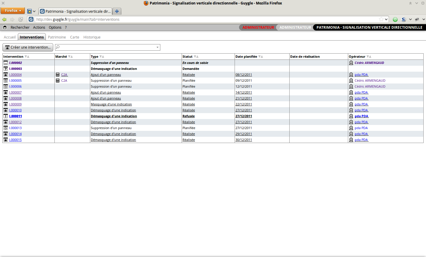
A road sign management system for Paris & Annecy (two french cities).
-
A car and truck tracking system.
-
A sales offer management system.